Blogs & Articles
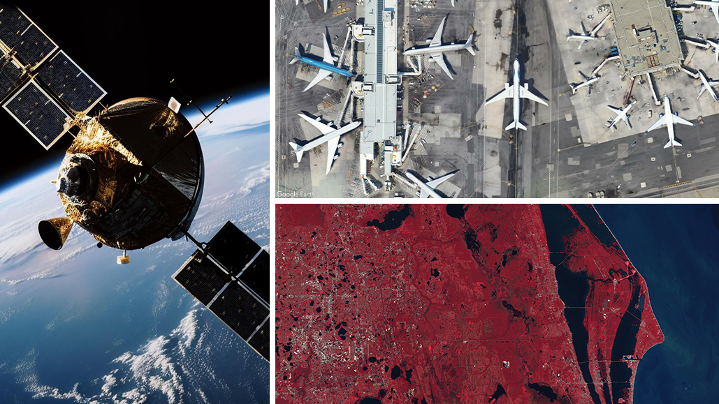
Articles, guides, and analysis on declassified satellite imagery, spaceports, and remote sensing.
The 'Open Data' Directory: List of Open Satellite Data 2026
Open data should be standard for every satellite imagery company in 2026, but few have properly gone ahead with it. This short guide walks you through the best options.
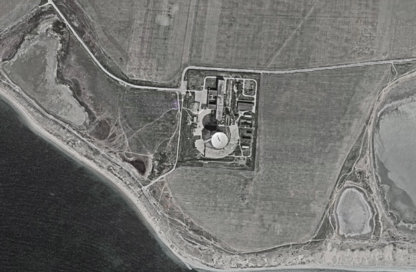
Breaking dishes: the space facility at Yevpatoriya
Using declassified imagery and reports to look at Soviet communication sites in Crimea.
Where to Get Free Satellite Imagery in 2026
The best free sources of satellite imagery in 2026. No need to waste time doing through complicated sales processes. It's now easier than ever!
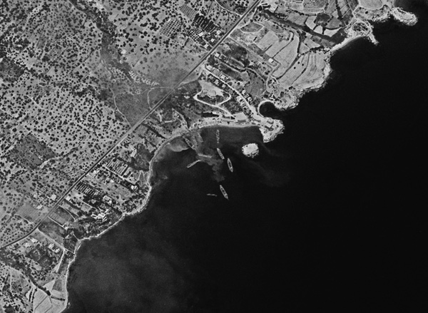
Flashpoint Cyprus 1974: Cold War satellite reconnaissance and peripheral wars
Using declassified spy satellite images to look back at the 1974 invasion of Cyprus.
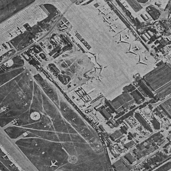
Power lifting: Cold War satellite reconnaissance and the Buran space shuttle
The construction and modification of facilities and aircraft for the soviet space shuttle tracked using declassified spy satellite imagery.
How to Download Declassified Spy Satellite Images For Free
A quick guide on how to download historic declassified spy satellite images from the USGS website.
Satellite reconnaissance and the Falklands War
Using declassified KH-9 HEXAGON spy satellite images to view scenes of the Falklands War in 1982.
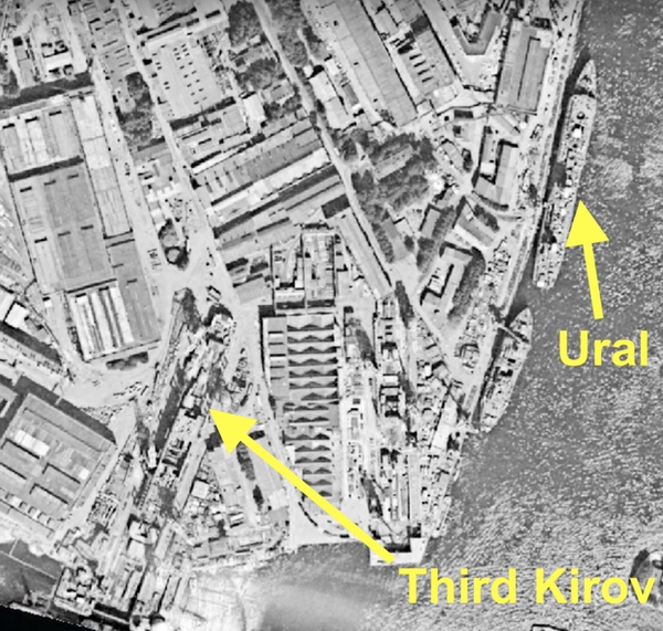
HEXAGON vs. Kirov: American satellite reconnaissance and the Soviet Union’s most powerful warship
Using declassified KH-9 HEXAGON spy satellite images to track the construction of Soviet warships, and more.

Declassified Spy Satellite Images of Famous Landmarks
Ever wondered what famous places looked like from space during the Cold War? This blog shares some images of many famous landmarks all over the world.
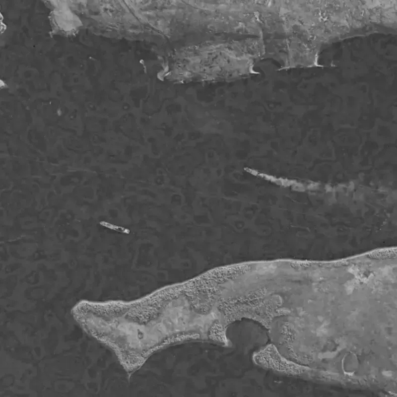
Carriers from space (part 2): Contemporary use of satellite imagery for open source intelligence
Part 2 of Dwayne's previous article on using satellite images to observe and track aircraft carriers, this time with more modern imaging satellites.
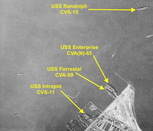
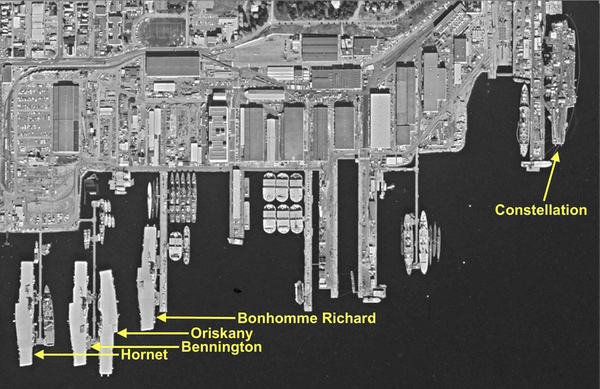
Carriers from space (part 1)
Following some back and forth discussion and sleuthing on the NASASpaceflight forums Dwayne wrote this fascinating article going over some history of aircraft carriers that were imaged by US spy satellites.
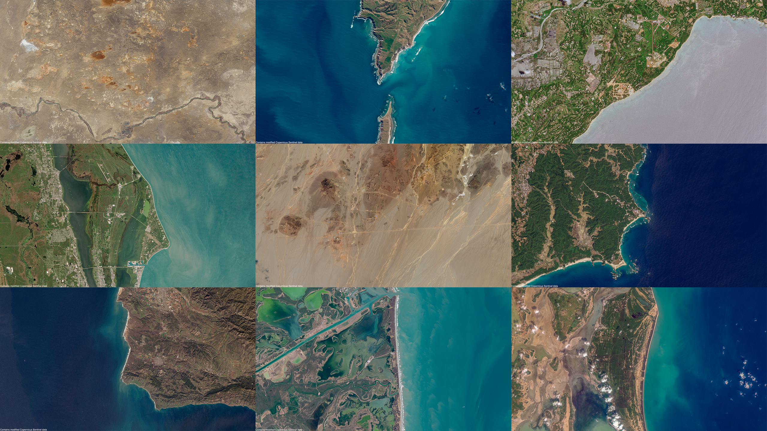
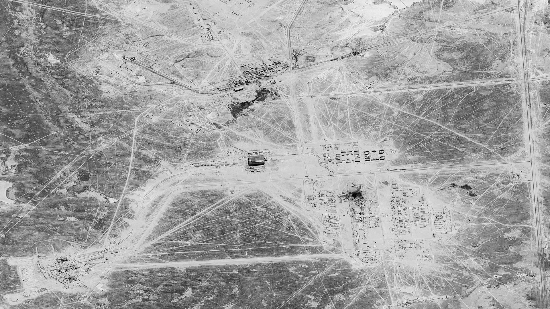
Satellite Images of the World's Spaceports
An overview of serveral key spaceports arpund the world using stunning satellite imagery taken by the Sentinel-2 satellites.